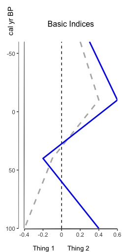
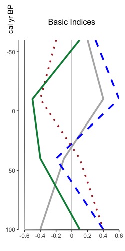
Overlaying index plots now available in Palyoplot

That’s right, you heard me. You can now overlay multiple indices on one plot. Why? Because sometimes appending graphs just isn’t good enough and you really need to overlay two index datasets (or more) to see that relationship between them. The tutorial for how to do so is now available, and it leverages all the same styling options as plotting an index. Here’s a sneak peak of two different overlaid plots: one reasonable one with two datasets, and another to show that you can put multiple one one graph. I don’t know why you’d want to do that, but I figured “hey, why not”.

Overlaid Indices (2 indices)
Fig 1. Basic sample of two overlaid indices with dashed zero line
Multiple overlaid indices
Fig 2. Multiple overlaid indices with solid zeroline

Quick Lat/Long GMaps Hack

Have you ever been in Google Maps and wished you could find the lat/long of a place you’re looking at? I have this wish all the time. Fortunately, I know it’s possible. Unfortunately, I have to hunt down the solution each time in some old code I have up on a website. So, in order to make it easier to find (for me at least), here’s the solution. Enjoy!

    1. Center your feature of interest in Google Maps
    2. In the LOCATION BAR of your browser (where you type in URLs), paste the following:
javascript:void(prompt(”,gApplication.getMap().getCenter()));
  1. Hit “Enter”
  2. Walah! A popup dialog with the lat/long of the center of the map, and thus, your feature of interest =)

GPSFiles to SHP – Now with ArcGIS 10!

Code base updated on 10/26/2010. Available at ESRI’s Code Gallery: http://resources.arcgis.com/gallery/file/geoprocessing/details/?entryID=BC061D5E-1422-2418-7FCE-CC0FBB0C0825

Issues:

  • ArcGIS 10 returns error: <type ‘exceptions.ImportError’>: Bad magic number…
  • GPX to SHP only processes the first track in the file

Changes:

  • gpsFile.pyc was not compiled in a manner compatible with ArcGIS 10. The file has been replaced with gpsFiles.py so that compiling can be done dynamically for both versions. The code continues to work as expected for Arc 9.3.x.
  • GPX to SHP now supports multiple tracks

Convert GPSFiles to SHP

ArcScripts is dead. Long live ArcScripts.

For my thesis, I needed to be able to convert either KML or GPX files to shapefiles in ArcGIS 9.3. Unfortunately, there was no inherent way to do so in Arc. Several months ago, I poked around ArcScripts (arcscripts.esri.com) and found a toolbox written by Jason Parent that would convert KML to SHP, but not GPX. After fiddling with his code for a while, I decided to rewrite the entire code base to parse XML programmatically, instead of piecemeal. Thus the first iteration of “Convert GPSFiles to SHP” ArcToolbox was born. I have since added PLT and WPT support as separate modules in the toolbox.

I went to upload the changes today, only to find out ArcScripts has been decommissioned, and ESRI now wants us to use “Code Gallery”. Unfortunately, I don’t care for the way ESRI organized the new site, but *shrug*, I can’t upload the changes in the old place, so what’s a girl to do? The new code can now be found under “Geoprocessing Model and Script Tool Gallery

I’m posting both links to my ArcToolbox here, in the case anyone need to convert the files from their GPS device to SHP. Updated code (supporting PLT, WPT, and including bug fixes), is available in the above mentioned Gallery at: http://resources.arcgis.com/gallery/file/geoprocessing/details?entryID=BC061D5E-1422-2418-7FCE-CC0FBB0C0825. Old code at ArcScripts is available at: http://arcscripts.esri.com/details.asp?dbid=16797.

The updated toolbox does NOT support ArcGIS 10 (I’m working on it).

Enjoy!