Technology in the Field: Smartphones, Addendum 1

In the previous post I talked about having a smartphone in the field, and how I had not yet tested the waterproofness of the Samsung Galaxy S5. Welp, I accidentally tested it two weeks ago while out in the field on another coring trip. This time in a lake.

It was my very first lake coring trip, so I was excited to observe how the raft was anchored, positioned, and moved. In my excitement, I forgot that I had my phone in my pocket (as I usually do). Walking along the edge of the lake to position the first anchor point, the bottom suddenly disappeared and I found myself in knee-deep mud and waist-deep water. After fits of laughter and finally getting myself dislodged I remembered my phone (okay, more like 10 minutes later). “Oh no!” was my first thought. “Oh, wait…” was my second. Sure enough, phone coated in mud, wiped off, and still ticking. Yay for field photography when no one else is willing to get their real cameras (or phones) wet!

Continue reading “Technology in the Field: Smartphones, Addendum 1”

Technology in the Field: Smartphones

Once upon a time (back in 2011) I wrote an article on the accuracy of smartphones in the field compared to dedicated GPS units (click here to read it). Coming back from the field has reminded me that nothing’s changed — I’d still rather use my phone than wait for the GPS unit to power up and figure out where I am.

There’s plenty more GPS apps for smartphones now than there was 5 years ago, but I still find myself consistently going back to Maverick (Play Store). It’s simple, lets me drop my waypoint, take a georeferenced picture, add in descriptions, and makes me happy. Used to use OruxMap (Play Store). It has great features, but for some reason I just click on Maverick for fast fieldwork.

It’s nice to see people getting on board with smartphones as GPS, from geography field trips (article) to research investigations (article). Not nearly the backlash when I presented at conferences oh so many years ago (*gasp*! How DARE you say some PHONE is as good as a $2000 Trimble?!??).

Continue reading “Technology in the Field: Smartphones”

App Review: c:geo

I’ve recruited my 4-year old daughter to go “treasure hunting” (aka geocaching) with me. I’ve tried GeoBeagle before, with varying degrees of success. Usually I just get the cache info in GeoBeagle and input it as a waypoint in Maverick. Most recently I’ve been playing with c:geo, and find it to be much better (and cheaper. I’ll get to that later).

C:geo is more of a stand-alone application than GeoBeagle (or any other Android app I’ve tried). Like other geocaching apps, c:geo works with geocaching.com. Unlike GeoBeagle, you do not need a premium (ie: paid) geocaching.com account to download and store caches on your phone — c:geo will let you cache the locations directly. You can do this by inputting a geocode, lat/long, address, keyword, username, near you, live map (awesome feature), etc.

In addition c:geo can navigate you to the cache using Google Maps (great if you’re driving, as you get voice navigation as well), radar (have GPS Status installed), or compass. In a way, getting to the cache is almost too easy. And considering other accuracy validation I’ve done (which will be presented at the 33rd Applied Geography Conference in October 2010), I know the G1, and Droid Incredible, can navigate there within the apps’ reported accuracy.

Overall, if you’re looking for a really good, feature-packed, free geocaching app, I’d recommend c:geo. One caveat. I couldn’t manage to log in with c:geo until I re-downloaded and signed in with GeoBeagle. Only then would c:geo successfully log in. If you have a problem registering c:geo with geocaching.com, I suggest this work around. Happy caching!

Mobile Apps: Wikitude Drive Testers Wanted

When I first saw the demo for this app, it reminded me of orientation at Qualcomm. We had to get into groups and come up with a new product. The product my group (ie: I) came up with was glasses that would display your drive route directly in front of you, projecting your turn-by-turn navigation over the road. Wikitude World Browser comes close. The first AR satellite navigation system with global coverage, your driving directions are projected directly on top of live-video of the road before you.

The first 2,000 beta testers can get the app for free in the Android Market. I’ve downloaded it recently and will let you know what I think soon. Feel free to post your experience in the comments. QR Code provided for faster download.

Mobile Apps: I love you Swype!

I’m not one for keyboard replacements — never really saw the point (ooooo it’s another color). Sure, I’ll root a phone, install custom ROMs, switch out desktops, etc., but the keyboard has always been, well, a keyboard. The irritation of hitting those tiny little keys onscreen is what made me love the physical keyboard of my HTC G1 so much. The HTC Droid Incredible has no physical keyboard (but it does have Google Earth *drool*). The lack of physical keyboard initially made me a sad panda, until I found Swype. Don’t have Swype? Have a go over at the friendlies at XDA Forums.

Swype beta closed? Official beta APK in here!!! – Page 10 – xda-developers
What is Swype you ask? Short answer, it’s a closed Beta program. I know, not helpful. Plus, how closed can it be with a link to the APK? 😉 Anyways, Swype is simply one of the most intuitive keyboards (IMHO) you can ask for. Instead of hitting at the keys on screen, you simply draw your finger from one letter to the next. You don’t even have to be all that accurate. The app guesses at what you’re trying to type, and if there’s multiple options, will provide you a list to choose from. It’s like an autocorrect (of sorts) for typing/texting on a phone. If the word doesn’t exist, hit the buttons “old school”, click the text that appears, and voila! it’s added to your dictionary. Typing is so much faster, because it’s more like scribbling than anything. Only legibly 😉

The app comes with a tutorial, one of the few tutorials I’ve ever done in my life (DO THE TUTORIAL!!! So many good tips & tricks in there!). Ok, so I did the tutorial thinking that was the only way to activate the program, but still, it’s good. Oh, to activate Swype? First, enable it in Settings > Language & Keyboard > Swype (checkbox). Second, go to a text field (say, in a search box) and long press the field. A popup will appear, then click Swype and you’re all set to go.

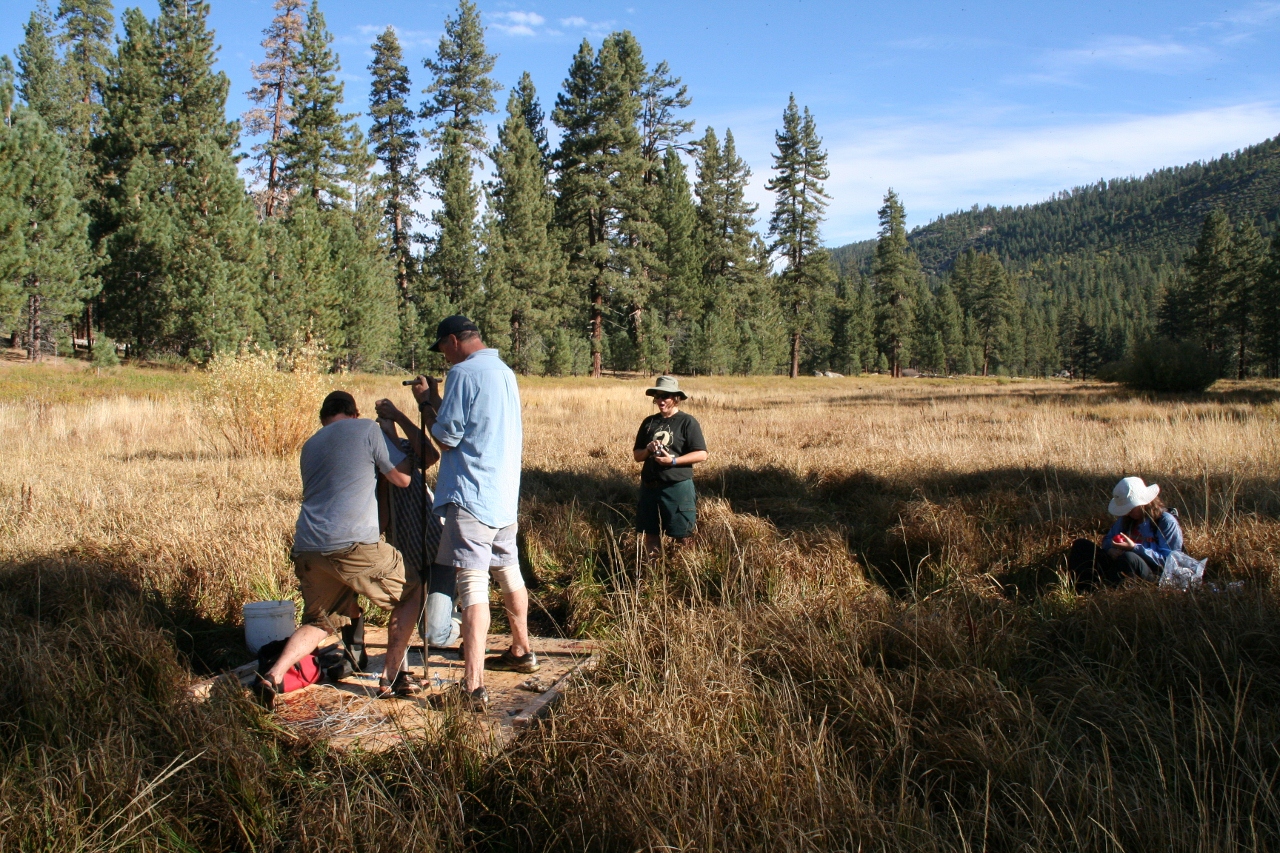
So how does this relate to geography? Because now, taking notes on your phone out in the field just got that much less frustrating =)